I have a very poor track record for finding my way through Adelaide. Although we have lived in South Australia for five years now, I don’t need to travel to the city very often, and when I do I generally drive to Gawler and take the train from there.
Armed only with a five year old street atlas and a 17-year-old with no sense of urgency, I took us fearlessly in amongst the Christmas shoppers and delivery drivers and kept an alert eye out for signage. The first bit was fine. I managed the rather daunting Gepps Parade/Main North Rd/Port Wakefield Rd intersection, continued on to Nottage Terrace and even got onto the Ring Rd exactly where I needed to. Past the city centre and right up to the infamous figure-of-eight roundabout which was signposted for Mt Barker so I handled that well too.
After that I took a wrong turn, at one of the following major intersections which had no signage whatsoever. I was quite unaware that I had taken a wrong turn because I was on a busy road with two lanes each way, divided just like a highway is, and it headed up the hill in an easterly direction, as expected. However, at the top of the hill it suddenly narrowed to the point that there was no turning round and no parking possible. I was going with it wherever it led.
I was a little stressed at going astray this early in the journey but my son reminded me that we had four hours to travel in eight hours and a full tank of petrol and the scenery was quite stunning, all of which was quite true, so we drove on and found ourselves at the summit of Mt Lofty. Well worth a visit – but not under our circumstances. Upon heading further east, I found signs to places which were not on our five year old map and eventually phoned my sister for directions. She lives in Hobart but jumped on Google Maps and got us to the freeway. By which time it was 3PM and in the heat of the day, but finally we were headed in the right direction. I have since learned that most people I know also took a wrong turn heading through Adelaide, which is something of a relief.
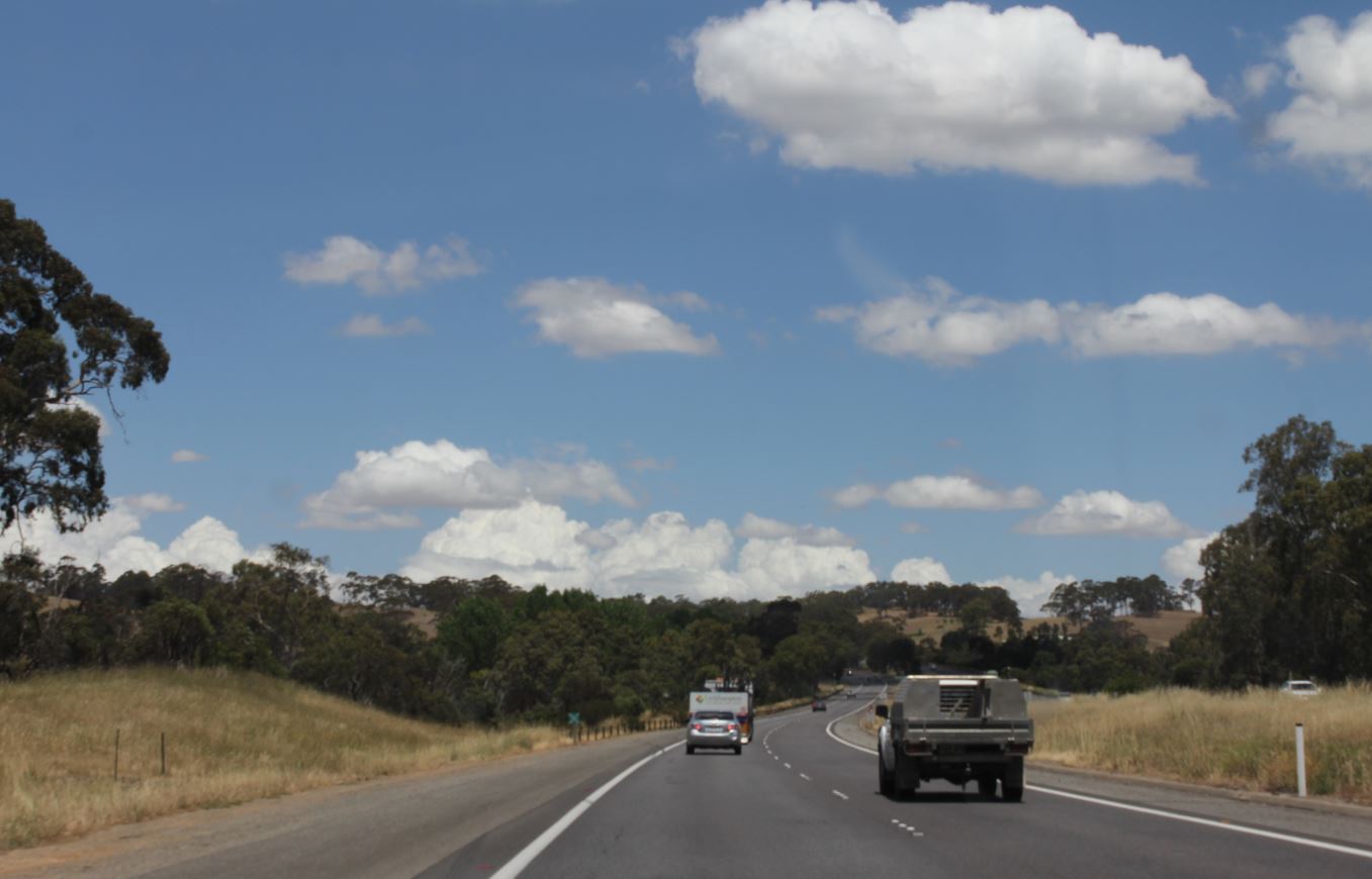
There isn’t much to say about this leg of the journey. I have no ancestors who lived anywhere here, so I don’t know the history very well. We drove to Tailem Bend, stopped for a break there at about 3.30PM and carried on. We reached Tintinara about 4.30PM, Keith at about 5.30PM and Bordertown by 6.20PM. Just after Bordertown we crossed into Victoria and gained a half hour due to the change in time zone. At the new 6.30PM we pulled into the campsite at Kaniva where we pitched our tent for the night.
In the early days of the colony, most travellers went by boat. Those who came inland were more often miners and prospectors. I can definitely see why. It’s long, flat, hot and dusty. But it’s always fun at this end of a journey.


Leave a Reply