![Portion of 1837 Dower Map of Van Diemens Land. Public Domain map By http://www.geographicus.com/mm5/cartographers/dower.txt [Public domain], via Wikimedia Commons](https://historybylarzus.files.wordpress.com/2015/03/van-diemens-land-1837.jpg?w=660&resize=660%2C436)
Portion of 1837 Dower Map of Van Diemens Land. Map By http://www.geographicus.com/mm5/cartographers/dower.txt [Public domain], via Wikimedia Commons
Initially settlers were not allowed to come in without a letter of introduction, but soon enough the borders were opened and the areas of white settlement spread up the Derwent River, through Glenorchy, Austin’s Ferry and all the way to foggy, damp Bridgewater. On the map above, Bridgewater is on the Derwent below Brighton.
The whole area is steeped in history and up until twenty years ago no one could take ten steps without coming across something from the past. Ancient pathways, stairs cut into the riverbanks, sagging huts still known locally by the names of their early occupants, convict symbols in bricks, milestones showing the distance to places which no longer bore those names but were still known to residents. Change did not occur fast in Tasmania. It didn’t have to in the minds of most residents.
Things have changed. I visited the state last year for the first time since leaving in the 1990s and much has gone. Administration for much infrastructure has shifted to Victoria, to people who lacked the local’s sense of connection with their past. Cutting costs and the requirement for legal compliance has led to the concreting over of ancient paths and riverbanks, the bulldozing of ancient huts and the fencing off of rambling riverside walks. It’s a shame, but perhaps was necessary for progress.

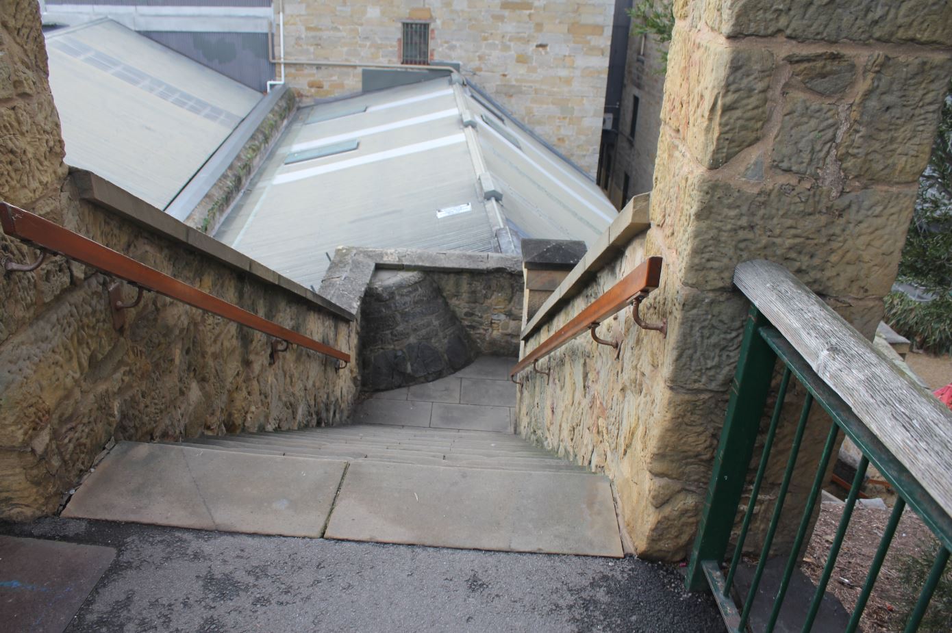
Kellys Steps at Salamanca in Hobart. Once sandstone steps which were wearing down under much use, now repaved. Built in 1839 and still in use.
Settlements formed where the land was good, sometimes by design but just as often by chance. New Norfolk and Hamilton, both north west of Hobart Town, were early settlements (see map above). On the north coast were Port Dalrymple at the mouth of the Tamar River, and Circular Head in the west. The town of Launceston sprang up on the Tamar to service the port. Very early on, a highway was forged from Launceston through the midlands to Hobart Town. The Midlands Highway is still there today with only a few route alterations, and the original road can be seen at many points.
Inevitably, the Midlands area became a community of its own with settlers centred around the townships of Perth, Campbelltown, Oatlands and Kempton, with Bothwell established in the highlands.
To the north east of Hobart Town were the communities of Richmond and Sorell, along the land route to the Port Arthur penal settlement. To the south was the Huon Valley where the foliage is dense and only the toughest and most hardworking settlers could make a start. It was the land of sawyers and bushmen but the townships of Lightwood Bottom and Port Cygnet eventually established themselves.

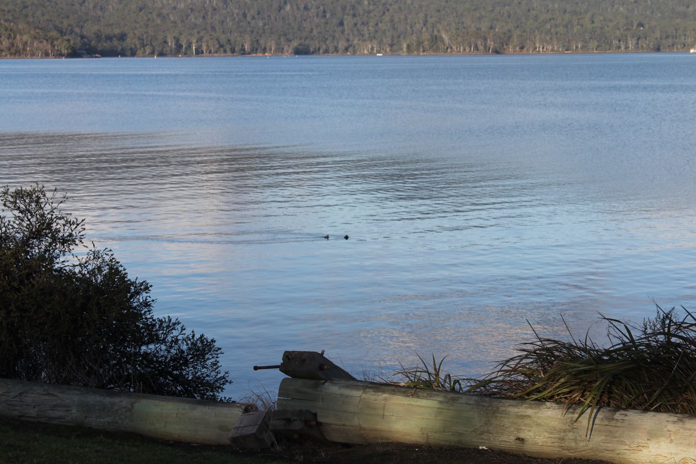
Ducks on the Lune River in southern Tasmania, heavily wooded banks visible on the far shore. Picture taken June 2014
In a nutshell this is the history of Van Diemen’s Land, without the stories of the people who lived there and what they did. The state is very hilly and the rains can be heavy. Unsealed roads were regularly washed out and the ocean swell became heavy. The whole state experiences seasonal gales. The climatic conditions led to isolation in the towns away from the sheltered east coast. While the villages on the Derwent – Glenorchy, Austin’s Ferry and Bridgewater – slowly expanded to become cities in their own right as well as suburbs of Hobart, the more distant communities remained small and insular.
Between 1800 and 1900, most members of a community married other members of that same community. They were born within five miles of each other and the whole population lived within that range. Even if they avoided cousin marriages – which were perfectly acceptable – after a hundred years everyone shared two or three sets of great grandparents.
It only changed in Tasmania after Federation, as the rail networks were established, and better roads and better policing came in. My own grandparents’ generation was the first one to move out of their towns and take the chance of marrying into completely unknown families. Their children were the baby boomers who moved off the land, or bought farms of their own choosing and grew crops of their own choosing. They moved to the cities of Hobart, Launceston or Devonport. Even into the 1970s, very few moved away from the state.
Around the small towns there developed even smaller villages, many of them formed through worker’s cottages on large farms. Van Diemen’s Land did not have the squatters and cattle stations which are famous in New South Wales and Queensland, but it still had affluent farms which employed whole families. As well as the farms there were wayfarer inns and landing docks on the riversides which became community centres.
In a small and isolated town further segregation was easy. Thus it was that if you lived in Back River, you were not considered to be living in New Norfolk though the distance was an easy three miles. If you lived in Nicholl’s Rivulet you were not living in Cygnet, if you lived in Black Bobs you were not living in Ouse. For a while there, people living in Back River tended to marry other people living in Back River. I have not picked these small communities at random. Any Tasmanian reading this will know what those tiny outlying places have in common, at least by repute.
Tasmania has an unfortunate reputation on mainland Australia for its inter-family marriages. I’d heard nothing of this until at the age of 18 I took the apparently risky move of accepting an interstate job. I moved to Melbourne and the first thing my new coworkers did was count my fingers. Yes, it was a joke but it absolutely shows how entrenched the reputation is. Close marriages did occur on occasion, but the reputation is mostly unfounded.
My father in law comes from New Norfolk. My mother in law comes from Circular Head. My father’s paternal line comes from Port Cygnet and his maternal line comes from Kempton. These four very distinct Tasmanian communities are ones I have studied in some detail.


Leave a Reply